Icy Saturday May Usher In Stormy Monday
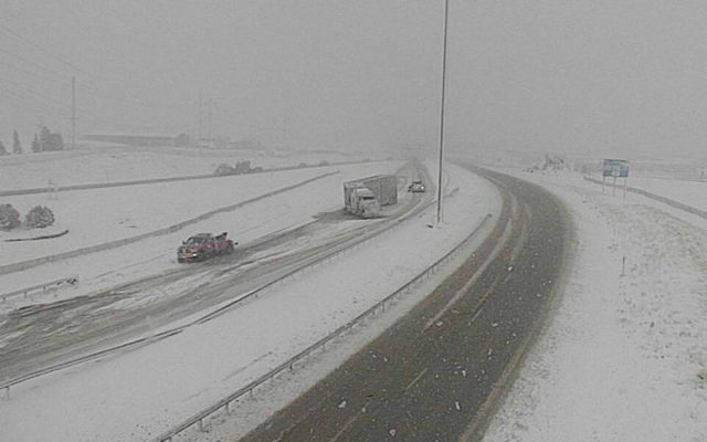
Valley, NE (January 22, 2021) The National Weather Service has issued Hazardous Weather Outlook for a large part of Southeast Nebraska and southwest Iowa for Saturday afternoon and evening. As usual, temperature and the movement of the Weather pattern will dictate which occurs.
The outlook predicts that snow and/or freezing drizzle will begin early Saturday afternoon and continue through midnight. It says that untreated surfaces may become slick for drivers, with up to one tenth of an inch of ice.
The advisory area stretches from the Sioux City area on the north to Pawnee City on the South. The western edge of the area is a line running from Neligh to Beatrice, and the eastern edge includes the Council Bluffs, Iowa area.
The statement also says that confidence is increasing in a significant winter storm for portions of southeast Nebraska and southwest Iowa on Monday. Specific details regarding timing, amounts, and potential impacts remain uncertain, however.
Sasse Calls Guard Booted To Parking Garage “Beyond Insulting”
Blaze Events

Clash at The Complex
2 days ago
Spring Game Tailgate!
3 days ago
In This Moment – Ice Nine Kills
3 days ago
Rival Sons – Clutch
3 days ago